A survey number is the number your state’s land record gives one plot of land inside a revenue village. It is the number the Farmer Registry uses to find your land. When your plots do not appear on their own, the official FAQ says you can claim them by entering the district, sub-district, village, survey number and sub-survey number for each village where you own land.
States call this number by different names: khasra, gata, survey or gat number, dag, khesra, plot number. This guide explains what the number means, how it differs from other numbers on your record, where to find it, and how to enter it so the registry finds your land the first time.
For each plot, write down five things from your current land record: district, sub-district (tehsil, taluka or mandal), revenue village, survey number, and sub-survey or hissa number. These are exactly what the Farmer Registry asks for when it cannot find your land automatically.
What a survey number identifies
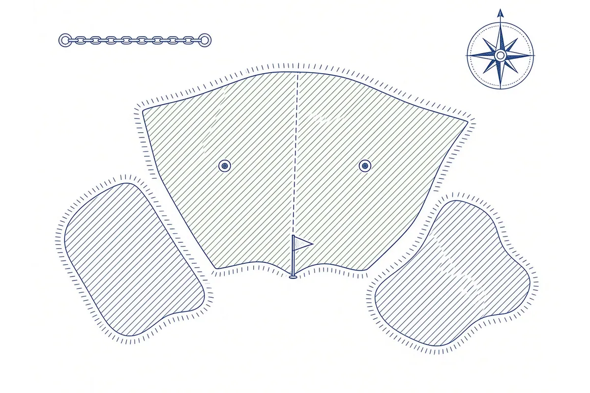
A survey number points to one piece of land on the village map. When land in a village was surveyed, each plot was given a number, and that number is used in every record about the plot: who owns it, its area, what crop is grown on it and, in many states, its boundaries on the village map.
Because every village starts numbering from 1, a survey number means nothing on its own. Survey number 121 exists in thousands of villages. It only identifies your land together with the district, sub-district and village.
Survey number and sub-division
Over time, plots are divided: among heirs, after part of a plot is sold, or after a partition. The divided parts get a sub-division number. You will see it written in different ways:
- 121/1, 121/2 (a slash and a number)
- 45/2A, 45/2B (letters after the sub-division)
- Hissa number or sub-survey number written in a separate column
The official FAQ uses an example of “Survey number 121/1” with six owners. The Farmer Registry’s manual search asks for both the survey number and the sub-survey number. If your record shows a sub-division, the main number alone may not find your share.
Survey number and account number
Most land records have two kinds of numbers, and mixing them up is one of the most common reasons for a “not found” error:
| Number | What it identifies | Common names |
|---|---|---|
| Plot number | One piece of land | Survey number, khasra, gata, gat, dag, khesra, plot number |
| Account number | An owner’s holding, which may include several plots | Khata, khatauni number, khewat, 8A, patta |
The registry searches by plot number. If you enter the khata or patta number in the survey number box, it will usually not find anything. Our land record names by state glossary shows which column is which in each state.
Survey number, Farm ID and ULPIN
Three other numbers are often confused with the survey number.
| Number | Who creates it | What it represents | Do you enter it to register? |
|---|---|---|---|
| Survey number | State revenue department | A plot in a village | Yes |
| Farm ID (Farmland Plot ID) | State, for the Farmer Registry | The extent owned by one ownership within a survey number | No, it is created for you |
| ULPIN (Bhu-Aadhaar) | State, under the national land records programme | A 14-digit alphanumeric ID based on the parcel’s geo-coordinates | No |
| Farmer ID | State Farmer Registry | You, the farmer | No, it is the result |
The official FAQ explains that the plot ID “is the id of land as in ROR like Khasra no, survey number or gata number”, while a Farm ID represents “the extent owned by a single ownership in a particular land parcel”. So one survey number can contain several Farm IDs if several people own separate shares in it. See Farm ID, Farmer ID and Land ID for more.
ULPIN is a separate national initiative. The Department of Land Resources describes it as a 14-digit number “accorded to a land parcel based on the longitude and latitude coordinates” that “depends on detailed surveys and geo-referenced cadastral maps”. In its 2025 year-end review the Department said ULPIN had been assigned to over 36 crore land parcels across 29 states and UTs as of November 2025. You do not need it for Farmer Registry registration.
Where to find your survey number
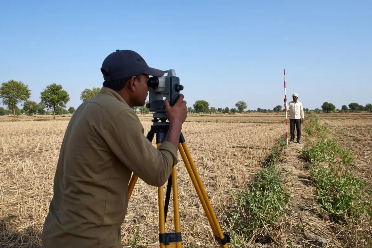
The most reliable place is your current land record, viewed on your state’s official land record website or obtained from the revenue office. Old papers help you find the number, but the registry reads the current digital record, so always confirm against it.
On your state’s land record website
Most states let you view the record of rights online. You usually choose the district, sub-district and village, then search by owner name, account number or plot number. When you find your record, note the plot numbers listed against your name.
Examples of official sites we have verified:
- Uttar Pradesh: UP Bhulekh at
upbhulekh.gov.in(khatauni, khasra or gata number) - Maharashtra: Mahabhumi Bhulekh at
bhulekh.mahabhumi.gov.in(7/12 extract, survey or gat number) - Gujarat: AnyROR at
anyror.gujarat.gov.in(7/12 and 8A) - Rajasthan: Apna Khata at
apnakhata.rajasthan.gov.in(jamabandi, khasra number) - Telangana: Bhu Bharati at
bhubharati.telangana.gov.in(pahani, survey number)
The full list, with the check date for each, is in our guide to official state land record portals.
From the village revenue official
The village revenue official keeps the village land records. The post has a different name in each state: lekhpal, patwari, talathi, village administrative officer, karmachari and others. They can tell you the current survey number and whether a plot was recently divided or renumbered.
From your own papers
A registered sale deed, partition deed, gift deed or court order normally mentions the survey number and village. Land revenue receipts and old record copies may too. Use these only as a starting point. If the plot has been divided or resurveyed since the paper was made, the number may have changed.
From the land itself
In some villages, boundary stones or field markers carry survey numbers. These can be decades old. Treat them as a clue, not proof.
Entering the survey number in the Farmer Registry
When you register, the portal first tries to show land linked to your name automatically. The official FAQ says that if some land is not shown, you can claim it by entering “at least one survey number, subsurvey number, district name, sub-district name, and village name for each village” where you own land. The software then checks whether that land belongs to you.
- Choose the district and sub-district where the land is recorded, not where you live.
- Choose the revenue village. This is the village in the land record, which may differ from your hamlet's name. See district and village guide.
- Enter the survey number exactly as on the record.
- Select or enter the sub-survey number. In the UP manual, the portal fills the list of sub-survey numbers once you enter the survey number, and you pick the right one.
- View the land details and check that your name appears in the owner list.
- Add the plot, then repeat for every other plot.
Typing the number correctly
Slashes, letters and hyphens
Enter the number in the same form as the record: if the record says 121/1, do not type 1211 or 121-1. Where the portal splits the survey number and sub-division into two boxes, put the main number in the first and the sub-division in the second.
Leading zeros and spaces
Do not add zeros or spaces that are not in the record. If the record shows 045, use it exactly; if it shows 45, do not add a zero.
Local-language numbers
Some records show numbers in a local script. The digits mean the same thing. Enter them as normal digits unless the portal says otherwise.
Land in more than one village
Each village has its own numbering, so search village by village. Survey number 12 in one village has nothing to do with survey number 12 in the next. You still get one Farmer ID for all your land. See multiple land plots.
Common survey number problems and fixes
| What you see | Likely reason | What to do |
|---|---|---|
| Survey number “not found” | Wrong village or sub-district selected | Check the revenue village name on your record |
| Survey number found, but not your name | Land still in a parent’s or seller’s name | Mutation first. See land mutation |
| Only part of your land shows | Missing sub-division | Enter the sub-survey or hissa number |
| Number on your paper does not exist | Plot resurveyed, consolidated or divided | Get the current number from the land record website or revenue office |
| Two plots with the same number | Different villages | Select the correct village for each plot |
| Area looks wrong | Error in the land record | Correction at the revenue office; the registry follows the record |
For a full troubleshooting guide, see land details error.
When the number has changed
Survey numbers can change after:
- Resurvey, when a village is measured again and plots renumbered;
- Consolidation of holdings (chakbandi in some states), when scattered plots are combined and new numbers given;
- Division of a plot, which creates new sub-division numbers.
If your papers are older than one of these events, the number on them may not exist any more. The current record is what counts. Our land record names guide explains old and new numbers in more detail.
When the record itself is wrong
The Farmer Registry does not create or correct land records. It reads the state’s record of rights. The official FAQ says “Bucket is strictly as per ROR”, and that it is not a legal registry for ownership. If the survey number, area or owner is wrong in the record, the correction is made at the revenue office, and the registry follows the corrected record.
Why the survey number matters beyond registration
Digital Crop Survey
In the Digital Crop Survey, crops are recorded plot by plot. The plot is identified through the same land record, so a correct survey number helps your crop be recorded against the right land.
Village maps
AgriStack’s second foundation registry is Geo-Referenced Village Maps, which link plots in the land record to their real location. Survey numbers are what connect the record to the map. See what is AgriStack.
Schemes and services
When a scheme uses your Farmer ID, it reads the land linked to it. If a plot is missing because of a wrong survey number, that land may not count for the scheme. Check that every plot is in your profile after approval.
Safety: use official sites only
Survey numbers and owner names are shown on official land record sites, so you do not need to pay anyone to “find” your survey number. Avoid websites and apps that ask for your Aadhaar number, OTP or payment to show land records. Official state sites usually end in .gov.in or .nic.in. See fake AgriStack websites and apps.
For CSC operators
- Ask the farmer for a current land record copy, or look it up together on the state’s official site before starting.
- Write down district, sub-district, village, survey number and sub-division for every plot first.
- Search village by village, and confirm the farmer’s name in the owner list before adding a plot.
- If a number is not found, check the village and sub-division before assuming the land is missing.
- If the land is found under someone else’s name, stop and explain the mutation route.